Training Programs
Our training programs cover various fields in civil survey and consultancy. Each course is designed to provide in-depth knowledge and practical skills.
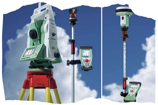
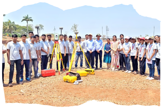
TOTAL STATION TRANING
Learn the fundamentals of land surveying, including the use of modern equipment and techniques.
DGPS
Explore the principles and practices of creating topographic maps for various applications.
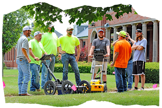
GPR
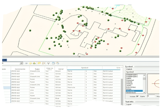
Master the use of GIS technology for spatial data analysis and visualization.
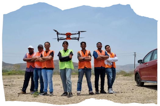
DRONE
Gain expertise in surveying techniques specifically for construction projects.

AUTOCAD
Learn the skills required for surveying bodies of water and underwater features.
AUTO PLOTTER
Understand the methods and applications of remote sensing in surveying.
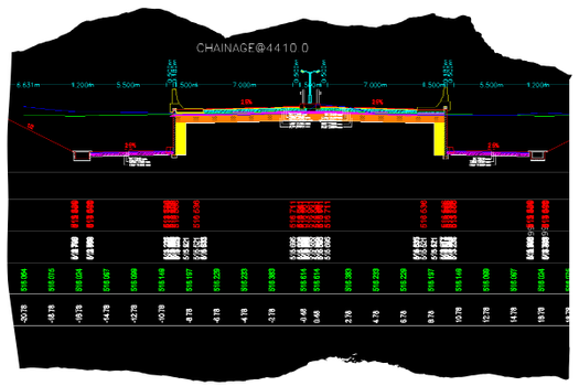
ROAD ESTIMATER
Understand the methods and applications of remote sensing in surveying.
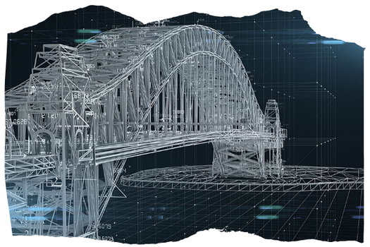
CIVIL 3D
Understand the methods and applications of remote sensing in surveying.
Contact Us for More Information
If you are interested in any of our courses or need more information, please fill out the contact form below.